
What is China’s alternative to GPS, and can Iran make the switch?
In the summer of 2025, a wave of reports swept through social media, drawing the attention of political analysts and technology observers alike. Several accounts on X (formerly known as Twitter) claimed that Iran was exploring the possibility of adopting BeiDou, China’s satellite navigation system, as a replacement for the U.S.-controlled GPS. Although Iranian authorities did not officially confirm the report, the political and technical dimensions of such a shift were serious enough to warrant careful scrutiny.

This potential move came in the wake of the twelve-day war, amid allegations that many Israeli drone strikes on Iranian military facilities had relied on GPS. If true, these allegations suggest that merely switching navigation systems might not be enough to eliminate Iran’s vulnerabilities. Furthermore, because the U.S. Department of Defence oversees GPS, some fear the system could be manipulated during military conflicts, compromising Iran’s access to accurate positioning or interfering with missile and air defence guidance.
In light of this, turning to China’s BeiDou system—especially given the expanding partnership between Tehran and Beijing—may no longer seem far-fetched. Iran is not alone in rethinking its reliance on GPS. Rising geopolitical tensions, breakthroughs in satellite technology, and a growing mistrust of systems operated by a single government—especially during the Trump era—have led several countries to consider alternatives.
So what exactly is BeiDou? Why are some nations eager to move away from GPS? And what are the potential benefits and dangers for Iran in doing so?
From Cold War Blueprints to Google Maps: The Origins of GPS
To understand the rationale behind this strategic pivot, it is essential to begin with the origins of GPS. The system was born in 1973 during the Cold War, when the United States launched a military initiative under DARPA to create a satellite-based positioning system for battlefield operations. The prototype satellite went into orbit in 1978, and by 1993, the complete 24-satellite constellation was operational, capable of delivering precise location data worldwide.
Although initially designed for military use, GPS became available for civilian purposes in the 1990s. In 1996, President Bill Clinton eliminated the “selective availability” feature—a deliberate signal degradation mechanism for non-military users, making GPS far more accurate and accessible to the public. Since then, GPS has become deeply embedded in modern life, powering everything from driving directions and ride-hailing apps to aviation, agriculture, logistics, urban planning, and even financial transactions dependent on precise timing.
Yet this military foundation means that, in times of war or sanctions, access can be restricted or degraded for certain nations. Authoritarian governments have also jammed GPS signals during periods of domestic unrest, rendering the system unreliable in emergencies.
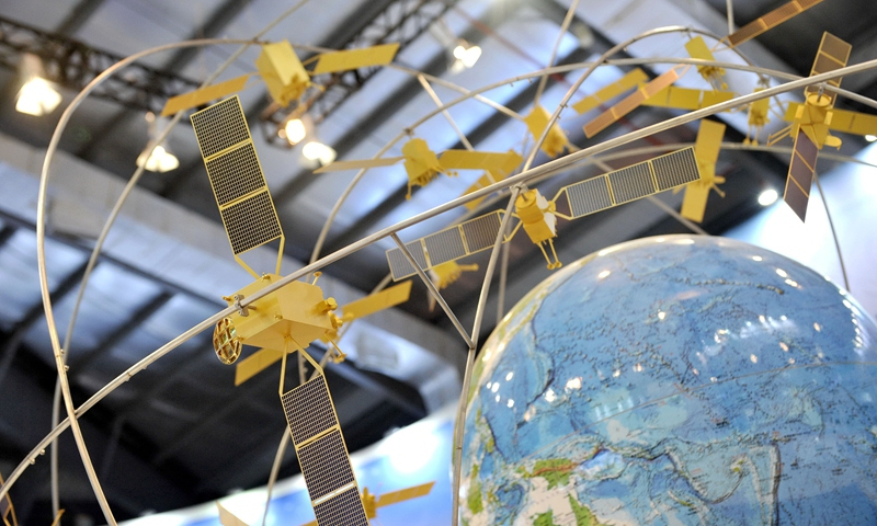
China’s BeiDou: A Celestial Alternative
Recognizing the risks of depending on a U.S.-run system, China launched its satellite navigation program in the 1990s to strengthen both military readiness and technological self-sufficiency. The first version—BeiDou-1—became operational in 2000 with just four satellites, offering limited service within China. By 2012, BeiDou-2 had expanded coverage to the Asia-Pacific region. In 2020, China launched the final satellite in its BeiDou-3 series, declaring the system fully operational on a global scale, comparable to GPS, Europe’s Galileo, and Russia’s GLONASS.
“BeiDou,” the Chinese word for the Big Dipper, symbolizes navigation and guidance—a name rooted in centuries of celestial wayfinding.
What Distinguishes BeiDou from GPS?
The third-generation BeiDou (BDS-3) consists of 45 satellites spread across three types of orbits: medium Earth, geosynchronous, and geostationary. This configuration enhances signal strength, even in dense urban landscapes.
BeiDou also offers features that distinguish it. Perhaps most notable is its short-message service, which enables users to send brief texts via satellite—an invaluable function in disaster zones where mobile network coverage is lacking. This capability can prove essential for search and rescue operations.
In terms of accuracy, BeiDou matches GPS. Public signals offer location accuracy between 1 and 5 meters, while military and professional users can achieve centimetre-level precision. In 2024, BeiDou’s single-frequency service reportedly provided 1.29-meter horizontal and 1.99-meter vertical accuracy, improving to 0.77 and 1.41 meters with dual-frequency access—sufficient for sensitive sectors like aviation.
Perhaps most striking was the assessment from the U.S. National Space-Based Positioning, Navigation, and Timing Advisory Board, which concluded in its November 2022 meeting that “GPS capabilities now significantly lag behind China’s BeiDou system.”
Why Is Iran Considering BeiDou?
For Iran, relying on GPS has always posed a strategic dilemma. Though GPS remains freely available, its control by the U.S. military raises understandable concerns. With growing sanctions, threats of technological blacklisting, and speculation about potential sabotage of critical systems, Iran is seeking more autonomy.
This search aligns with Iran’s broader pivot toward China, marked by long-term strategic agreements and increased tech cooperation. Given BeiDou’s regional strength, compatibility with Chinese-manufactured devices that are standard in Iran (such as Huawei and Xiaomi), and its political alignment, the system appears increasingly appealing.
Still, adopting BeiDou on a national scale is anything but simple.
Challenges Ahead—and Iran’s Options
Iran faces considerable obstacles in replacing GPS. Much of its current infrastructure—ranging from smartphones to aviation systems, logistics platforms, and banking operations—is built around GPS compatibility. Transitioning to BeiDou would require significant overhauls, including funding, training, hardware upgrades, and systemic reengineering.
That said, Tehran does have two potential paths for reducing dependence on GPS:
1. Jamming or Spoofing GPS Signals:
Iran could theoretically disrupt GPS signals by deploying jamming or spoofing equipment—tactics already seen near conflict zones such as Israel’s borders or in parts of Russia. But this carries risks:
Disruptions to emergency response, aviation, digital banking, and agricultural operations.
Breakdown of consumer apps like Snapp, Waze, or innovative services reliant on precise geolocation.
Violations of international norms prohibiting interference with GNSS signals.
2. Software-Based Prioritization:
On the software side, Android offers more flexibility than Apple’s iOS. Iran could customize Android systems (via HarmonyOS or localized ROMs) to favour BeiDou signals, especially on devices made by Chinese manufacturers. iPhones, however, are far less adaptable, and any modification would require Apple’s cooperation—an unlikely prospect under current geopolitical tensions.
A Mixed Model: Segregating Civilian and Military Use
Given these complexities, a dual-track strategy may be Iran’s best option:
Sensitive Sectors: Institutions such as the military, security agencies, and aviation services can adopt BeiDou through secure receivers and encrypted logistics, thereby reducing their exposure to GPS-linked vulnerabilities. This could be crucial in light of recent terror incidents and infrastructure sabotage, where an independent navigation backbone might offer a strategic buffer.
Civilian Use: Meanwhile, everyday users can continue to rely on GPS, at least in the short term. In high-security areas—like military zones or nuclear facilities—localized jamming could neutralize drone-based threats without affecting the general population.
This hybrid model would enable the government to enhance national security without compromising civilian life or commerce.
Phased Transition: Toward Strategic Independence
A full and immediate switch from GPS to BeiDou across all sectors of Iranian society is neither practical nor desirable. A phased plan—starting with government and military, followed by transport, and eventually encouraging civilian uptake—would reduce risks and increase resilience.
Outright bans or hasty restrictions could spark public backlash and paralyze services that rely heavily on GPS-based systems. Maintaining GPS access for the public, while gradually expanding BeiDou’s footprint, could strike a workable balance.
Still, concerns about trust remain. BeiDou’s short-message feature, while useful, also opens the door to potential surveillance. Critics argue that Iran could be replacing one dependency with another—trading U.S. oversight for Chinese control without genuine autonomy.
Moreover, aligning too closely with BeiDou may strain Iran’s relations with neighbours or partners who rely on GPS or Galileo.
Navigating a Multipolar Future
Global navigation is no longer a one-system domain. The rise of BeiDou, Galileo, GLONASS, and India’s NavIC has ushered in a multipolar GNSS era. Today’s smartphones often support multiple systems, and multi-GNSS receivers are becoming standard.
For Iran, tapping into this diversity—by integrating BeiDou alongside GPS—could reduce risk and increase resilience.
A Turning Point
Whether Iran ultimately embraces BeiDou remains to be seen. But one fact is undeniable: GPS no longer holds an uncontested monopoly. BeiDou, now deployed in over 140 countries, marks China’s ascent as a significant space and navigation power.
For Iran, the road ahead is as much about technology as it is about strategy. A well-planned adoption of BeiDou could reinforce national sovereignty. But a politically rushed decision—without accounting for the technical, economic, and security implications—may only deepen Iran’s dependence, this time in a different direction.

